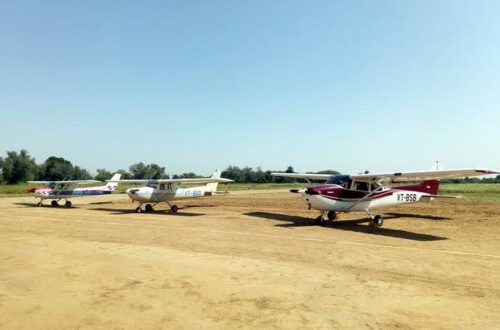
Kamalpur is the district headquarters of Dhalai — one of Tripura’s eight districts, occupying the central hill zone of the state where the terrain transitions from the Agartala plains toward the forested ranges bordering Mizoram and Bangladesh. It is the kind of district where infrastructure arrived late and geography made surface connectivity slow — the hill roads from Kamalpur to Agartala take 2 to 3 hours despite a distance of only 130 km. Kamalpur Airport — IATA code IXQ, ICAO code VEKM — is a small 61-acre facility managed by AAI, built in the late 20th century to address Dhalai district’s connectivity needs. Vayudoot operated Dornier 228 flights between Agartala and Kamalpur in the 1990s — the airport’s only commercial era. It is currently non-operational. AAI plans to upgrade it for ATR-42 and ATR-72 class aircraft under the UDAN scheme, subject to the state government acquiring 50.5 additional acres for a runway extension.
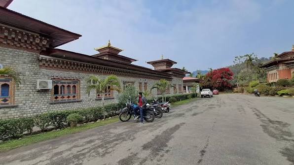
Quick Overview: Kamalpur Airport
| Detail | Information |
| Airport Name | Kamalpur Airport |
| Location | Kamalpur, Dhalai district, Tripura, India |
| Airport Type | Public — Non-operational |
| IATA Code | IXQ |
| ICAO Code | VEKM |
| Operator | Airports Authority of India (AAI) |
| Area | ~61 acres |
| Runway Designation | 01/09 (MakeMyTrip); dimensions 4,500 ft × 100 ft (~1,372 m × 30 m) |
| Target Aircraft (Post-Upgrade) | ATR-42 and ATR-72 class |
| Additional Land Required | 50.5 acres (state government to acquire) |
| Elevation | 40 m / 131 ft AMSL |
| Coordinates | 24°07′54″N, 91°48′51″E |
| Distance from Nearest Airstrip | Kailashahar Airport (~27.7 km) |
| Nearest Weather Station | Hazrat Shahjalal International Airport, Dhaka |
| Flight Information Region | Kolkata FIR |
| Scheduled Commercial Flights | None |
| Historical Airline | Vayudoot (Agartala-Kamalpur, Dornier 228, 1990s) |
| UDAN Listing | UDAN 4.0 Northeast 30 unserved airports/airstrips |
Kamalpur Airport Location: Dhalai’s Hill District Centre
Kamalpur Airport is located in Kamalpur town, Dhalai district, at coordinates 24°07′54″N, 91°48′51″E, elevation 40 metres. The airport sits at a modest elevation in the relatively open terrain around Kamalpur before the steeper Dhalai hills rise in the surrounding zone.
Dhalai district is Tripura’s geographical centre — surrounded by Bangladesh to the west, Mizoram to the east, and bounded by Unakoti and North Tripura districts to the north. Road travel to Agartala is approximately 2 to 3 hours through forested hill terrain. For government officials, security personnel, and traders, better air connectivity would significantly reduce the effective isolation of the district.
The airport was developed as part of the broader Northeast connectivity push that saw small airstrips established across the region’s underserved districts in the late 20th century. Vayudoot’s Agartala-Kamalpur Dornier 228 service in the 1990s was the only commercial era the airport has seen. When Vayudoot’s operations ceased, Kamalpur lost its only air link.
Code, Terminal and UDAN Plans
IATA IXQ and ICAO VEKM are the formal codes. The airport does not publish METAR data. It is included in AAI’s list of unserved airports and in UDAN 4.0’s Northeast 30-airport revival list, alongside Kailashahar and Khowai.
AAI’s upgrade plan targets ATR-42 and ATR-72 class aircraft — a significant step up from the Dornier 228-era capability. The essential prerequisite is the Tripura state government acquiring 50.5 additional acres adjacent to the existing 61-acre site for runway extension. Without this land, the runway cannot be lengthened to ATR-class dimensions.
Connectivity and Amenities
By Air: No scheduled flights. MBB Airport Agartala (IXA) is the nearest commercial airport — approximately 2 to 3 hours by road.
By Road: Kamalpur to Agartala approximately 130 km (2 to 3 hours via hilly terrain). Kailashahar is approximately 27 km north. TRTC buses serve inter-district routes.
No public passenger amenities for commercial aviation.
FAQs: Kamalpur Airport
Q1. What is the IATA code for Kamalpur Airport?
IXQ is the IATA code and VEKM is the ICAO code. The airport is in Kamalpur, Dhalai district, Tripura, managed by AAI and currently non-operational.
Q2. What airline served Kamalpur Airport historically?
Vayudoot operated Dornier 228-100 flights between Agartala and Kamalpur in the 1990s — the airport’s only commercial aviation era.
Q3. What is needed to revive Kamalpur Airport for ATR services?
The state government must acquire 50.5 additional acres adjacent to the existing 61-acre site for runway extension. AAI will then upgrade infrastructure for ATR-42 and ATR-72 class operations.
Q4. Is Kamalpur Airport in any UDAN scheme?
Yes — Kamalpur is included in UDAN 4.0’s list of 30 unserved airports and airstrips in Northeast India targeted for commercial connectivity.
Q5. How far is Kamalpur from Agartala?
Approximately 130 km by road — 2 to 3 hours through Dhalai district’s hilly terrain.